This topic describes how to use the default Dashboard Builder maps and configure their attributes.
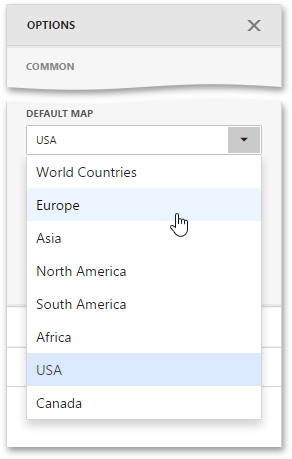
The Dashboard Builder ships with a set of default maps showing various parts of the world. The following maps are included.
The World Countries map has a lower level of detail than maps of specific regions and may not contain some of the countries. As an alternative, you can load a custom map with required granularity.
To select a required default map, go to the Common section of the Options menu and use the Default Map dropdown list.
The Web Dashboard uses a Shapefile vector format to provide custom maps. Commonly, this format includes two file types:
To provide a custom map, go to the Common section of the Options menu and change the Default Map value to Custom.
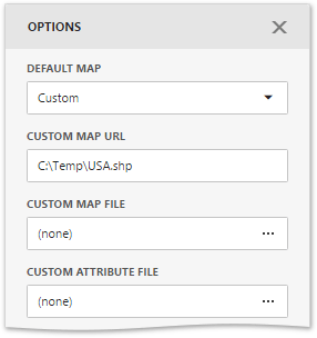
Finally, provide shape data using one of the following ways.
Custom maps created in the Cartesian coordinate system are not supported.
After you select the default or custom map, you can display supplementary information (such as the name of a country, state, etc.). To do this, go to the Options menu and open the Attribute Name dropdown list.
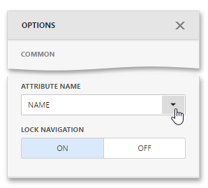
This list displays available attributes for the current map. Each set of attribute values is related to a specific map shape.
To learn how to bind the map attribute to a data source field, see the Providing Data topic.